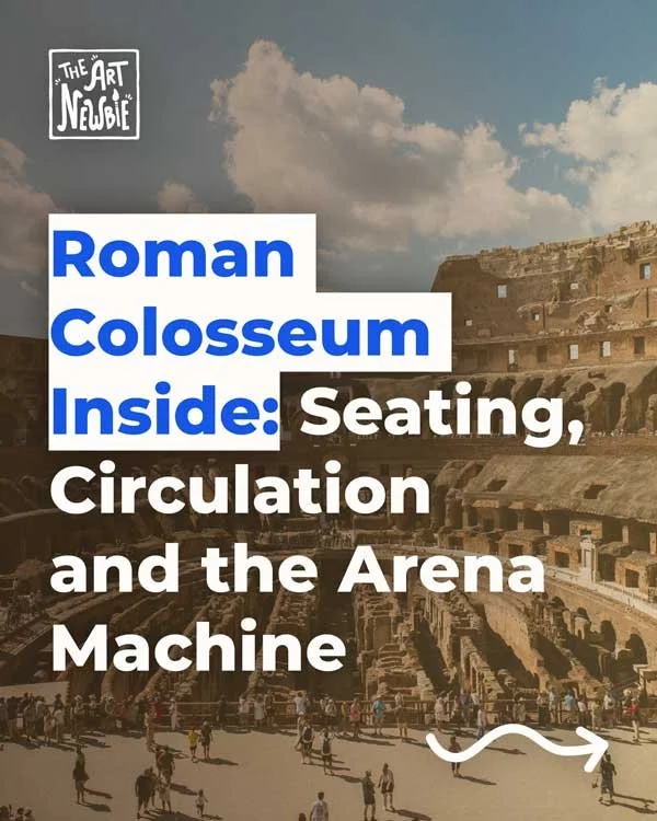
What Happened to the Great City of Memphis?
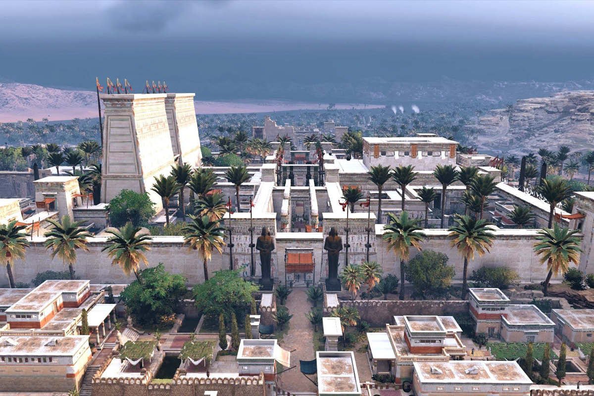
Bird’s-eye of a temple precinct [Game/Concept art].
Stand at the apex of the Nile Delta, where one river becomes many mouths, and the logic of Memphis snaps into focus. Here a capital could command north–south traffic on the Nile and reach east–west desert tracks in a single step. For centuries, that crossroads made Memphis the state’s working brain: palaces, docks, workshops, and the great temple of Ptah knit to the royal cemeteries on the dry edge at Saqqara and Giza. This is where centralized power begins—and where we can still read how geography shaped it, with our map of ancient Egypt close by for bearings.
Definition
Memphis (Ineb-Hedj, “White Walls”):Egypt’s early capital at the Delta apex, paired with the Saqqara necropolis just uphill.
Why Memphis rose where it did
Memphis grew where one channel became many, at a hinge between river valley and fan-shaped Delta. That placement wasn’t lucky; it was strategic. Administrators and boatmen could pivot cargoes between Upper Egypt and the Mediterranean; desert roads to quarries and oases started from nearby high ground. This is why early rulers concentrated court and storage here, and why the adjacent Saqqara desert edge became the state’s ceremonial mirror. The Step Pyramid complex of Djoser turns that logic into stone: city on the green strip, eternity on the dry plateau just beyond. For the political backdrop, see our guide to the First Dynasty of Egypt and how early kings consolidated rule.
Religion and industry reinforced the geography. The great House of Ptah (the god of craft and creation) anchored Memphis’ identity as a maker’s capital: workshops for stone, wood, and metal; scribal quarters; granaries; and docks. From here, royal projects fed the Memphite pyramid fields—Saqqara, Giza, Dahshur—by short haul up to the desert edge. When you zoom out to the national pattern in ancient Egyptian architecture, Memphis reads like the prototype: administrative core on the river, funerary zone on the plateau, both stitched by causeways and canals.

Temple city at dusk [Concept art].
What Memphis did for Egypt (and why it stayed central)
Memphis functioned as the kingdom’s switchboard. Grain moved through state magazines; labor and materials were marshalled here for royal building; and the court mediated between nomes (provincial districts) that funneled taxes and manpower. Even when the political center shifted south to Thebes in later eras, Memphis remained a logistics hub: a mint, an armory, and a ritual city where the cult of Ptah gave theological cover to royal authority.
That staying power came from infrastructure as much as prestige. Channels could be dredged; embankments renewed; access to both valley and Delta kept short. Meanwhile, the necropolis kept expanding along the ridge: Old Kingdom mastabas, later Saite revivals, and animal catacombs underlining Memphis’ long religious pull. The “Memphite region” is really a working system more than a single dot on a map—city, river ports, workshops, and cemeteries acting together over centuries.
Why Memphis declined (and what “disappeared”)
Memphis didn’t fall in one dramatic event. It thinned out. Capitals shifted with politics—to Thebes in the Middle and New Kingdoms, to northern cities like Sais and then Alexandria in the Late and Ptolemaic periods. River courses migrated, silting some harbors and favoring others. Stone was quarried from abandoned monuments for new projects downstream. By the Roman and later medieval periods, Memphis was more resource than metropolis: a landscape of re-used blocks, scattered shrines, and villages on top of ancient ground.
Still, the core never vanished in meaning. Pilgrims visited Ptah’s precinct; the Apis bull cult at nearby Serapeum drew crowds; and the desert edge kept receiving new burials. Modern archaeology reassembled the city’s footprint from those pieces—temple walls, colossi fragments, storage courts, and the long line of Saqqara’s cemeteries. To see sites and coordinates grouped cleanly, bookmark our Memphis site dossier.

Luxor-like pylon imagined by Raphael Lacoste [Concept art]. Source: Raphael Lacoste
What remains to see today (and how to place it)
Start at Mit Rahina (modern village on ancient Memphis) where open-air displays gather pieces from Ptah’s precinct—colossi of Ramesses II, alabaster sphinx, foundation blocks. Then step “up” to Saqqara for the Step Pyramid complex and the spread of Old Kingdom mastabas and later tombs; the desert edge you’re walking is the old city’s ceremonial partner. If you trace the Memphite pyramid fields north and south (Giza to Dahshur), you are essentially walking Memphis’ extended front yard. The broad placement is easiest to visualize on our map of ancient Egypt—river for life, desert edge for eternity, capital at the hinge.
Conclusion: From crossroads to constellation
Memphis began as a geographic decision that made rule practical: command the hinge, organize the harvest, build the cemeteries on the safe high ground. Over time it turned into a constellation of places rather than a dense urban core, but the organizing idea survives in the landscape. Once you’ve seen that hinge logic, other capitals make sense in comparison—why Thebes thrives on a bend, why Delta cities rise and wane with channels. Memphis is the first sentence in Egypt’s long story of power, river, and stone.
Sources and Further Reading
Encyclopaedia Britannica — “Memphis: ancient city, Egypt” (2025)
The Metropolitan Museum of Art — “Egypt in the Old Kingdom (ca. 2649–2130 B.C.)” (2019)
Oxford Research Encyclopedia of African History — “Egyptology and African History” (2023)
Polish–Egyptian Conservation Mission, Saqqara — “Saqqara” (2019)
You may also like